


Lac de Lispach

Alfredy
User GUIDE
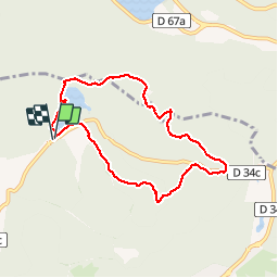

Length
6.9 km

Max alt
1090 m

Uphill gradient
207 m
Km-Effort
9.7 km

Min alt
906 m

Downhill gradient
208 m
Boucle
Yes
Creation date :
2019-08-16 09:20:39.286
Updated on :
2019-08-16 12:01:56.964
1h59
Difficulty : Medium

FREE GPS app for hiking
 SityTrail
IGN / Geographical institutes
SityTrail Plus
The world is yours!
About
Trail Walking of 6.9 km to be discovered at Grand Est, Vosges, La Bresse. This trail is proposed by Alfredy.
Description
Belle randonnée à faire en famille. Petite montée un peu difficile pour rejoindre la boule du Diable.
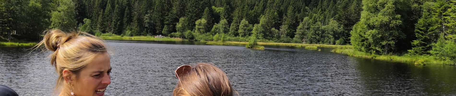
Photos


Positioning
Country:
France
Region :
Grand Est
Department/Province :
Vosges
Municipality :
La Bresse
Location:
Unknown
Start:(Dec)
Start:(UTM)
346604 ; 5323996 (32U) N.
Comments